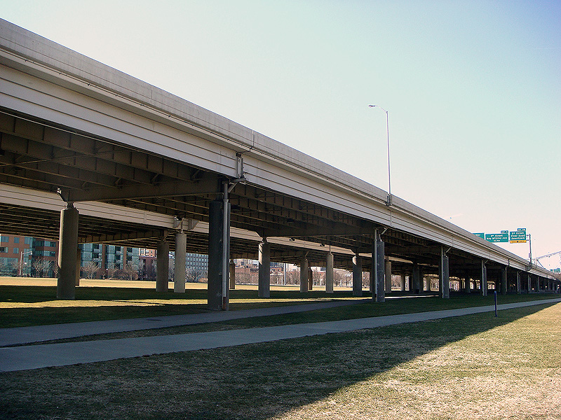
Waterfront Park’s Great Lawn is losing a couple hundred square feet of grass underneath Interstate 64. But first, let’s take a moment to gaze upon Louisville’s beautiful skyline. It’s all there in the photo above. Waterfront Park Place is on the left, the Aegon Tower and National City Tower looking elegant in the center, and the Galt House and Arena site on the right. Not many cities can boast a skyline that’s well… a line. And for that, Louisville should be proud.
We should include this view of our skyline from our beautiful Waterfront Park in our marketing endeavors. Let’s make some postcards to send to all our friend’s to tell them how swell a place this is. We may not have power, but at least we can drive right through one of America’s best parks. And our skyline is growing, too! If we do ever build Museum Plaza, it will interrupt the clean lines of our city, so we’re expanding the skyline by about 75 feet. That’s roughly to the shadow line in the photo, we estimate. That should be enough to hide even the tallest building anyone can dream up.
8664.org wants to tear down our beloved skyline. They even found some scientists over at Scientific American to back up their story with quotes like: “closing a highway—that is, reducing network capacity—improves the system’s effectiveness.” What are they thinking? Where else can we go for shade on a sunny day? Trees are a thing of the past; nothing says Welcome to Louisville like the harsh clanging of metal and guzzling of big-rigs. Here’s more from the Scientific American article:
Conventional traffic engineering assumes that given no increase in vehicles, more roads mean less congestion. So when planners in Seoul tore down a six-lane highway a few years ago and replaced it with a five-mile-long park, many transportation professionals were surprised to learn that the city’s traffic flow had actually improved, instead of worsening. “People were freaking out,” recalls Anna Nagurney, a researcher at the University of Massachusetts Amherst, who studies computer and transportation networks. “It was like an inverse of Braess’s paradox.”
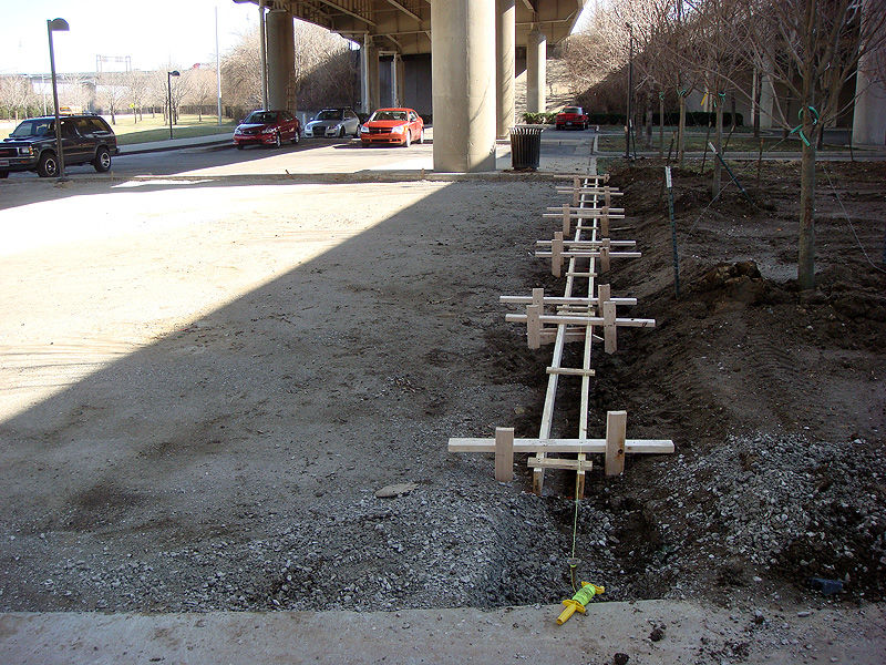
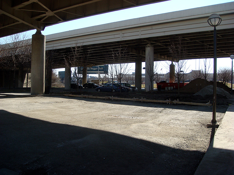
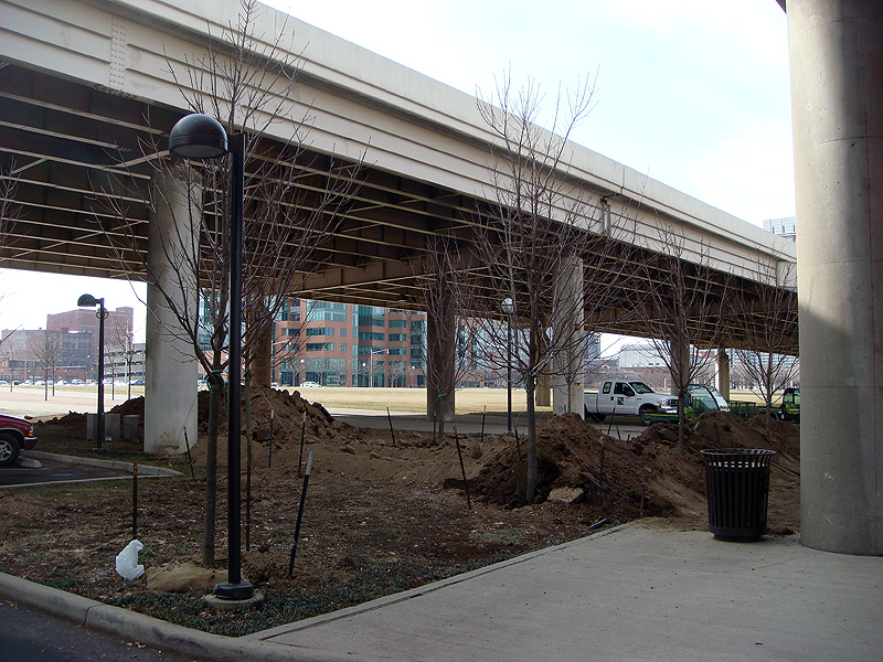
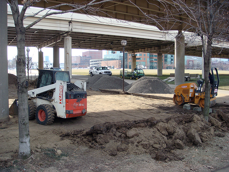
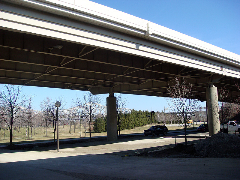
The article goes on and is well worth a read, but we’ve got a dying Waterfront Park on our hands as it seems that Interstate 64 isn’t a fan of grass. We first noticed the dirt being moved under the highway a couple weeks ago, but today the ground was being leveled to accept synthetic stone pavers and formwork for a new concrete curb set up. The area was perpetually muddy as grass couldn’t fully take root in the shadow of the elevated road. Torrential ponding of water runoff from the highway also causes erosion problems in the area. Now, we don’t have to worry about the grass… because there won’t be any. A few new trees were planted, though, to catch the meager rays of sun that penetrate through the concrete.


What about a more gradual approach on the bridges project whereby the east end bridge gets built first and only then a decision is made on continuing with it? Granted, I’d rather tear down 64 the second the ribbon is cut on the bridge, it would be a more palatable approach for the pro spaghetti junction crowd.
A staged approach makes sense, which is why we are pushing to prioritize the East End Bridge. Everyone agrees that it's the most cost effective and logical first step. But we feel it’s important to start with the end in mind. Otherwise, we might only build a suburban bridge and not address SJ’s problems or open up our waterfront.
Great post. I don't know the specific's of this freeway but here in Milwaukee we tore down a freeway spur, the Park East Freeway, and despite all of the claims that congestion would be terrible, nothing happened. So the value of opening up the land could really benefit Louisville.