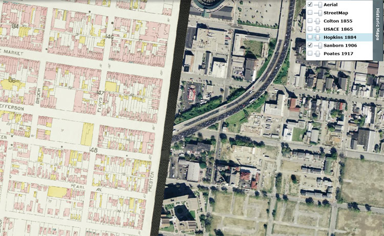
For all the information junkies and history buffs out there with an affinity for the mapped landscape, there’s an online tool created by Eric O’Neal we just found called Historic Maps of Louisville that has collected old maps from 1855 through 1917 and overlaid them on the current Google map of Louisville. This allows you to choose your map and a transparency level and check out just how much has changed over the past 150 or so years. And there’s quite a bit of change to review (not all good, to be sure). Have a look for yourself at oldlouisvillemaps.com. Don’t blame us for your spent afternoon.
Latest posts by Branden Klayko (see all)


Anyone else just getting an error when they try to open the link?
This has been moved: https://lojic.maps.arcgis.com/apps/StorytellingSwipe/index.html?appid=95cee6b7ab924acd8b9d9ff095dbb2da