Technology
Interview: What the Civic Data Alliance’s Voter Turnout Map means for...
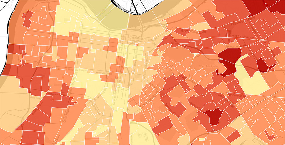
Louisville's Civic Data Alliance looks into the matrix of raw data streaming all around us and finds stories that help improve local government, citizen...
Interview: City Collaborative’s Pat Smith depaves the way for a better...
Image: An aerial view of the ReSurfaced site under construction. (Courtesy The Overhead Group)
Way back in 2008, four buildings along Louisville’s historic West Main...
Towering, Naked, Golden, and Heading to Louisville
It looks like Louisville is set to out-Michelangelo Florence, or at least out-facsimile the Italian burgh. Those creative folks over at the 21c Museum...
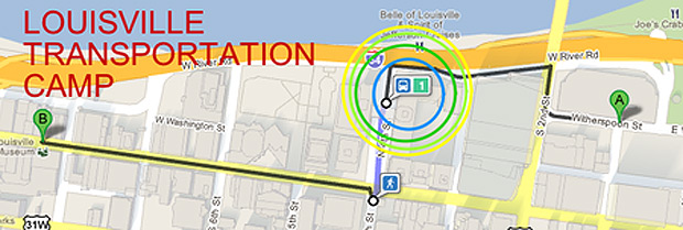
Q+A with Michael Schnuerle & the Louisville Transportation Camp
In the information age, data is king, and how we use the data all around us, from tracking transit schedules to monitoring traffic delays,...
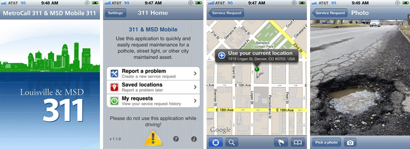
MetroCall 311: There’s an App For That
Bike Louisville also tipped us off on a fancy new app for MetroCall 311 that allows smart phone users to flag a problem on...
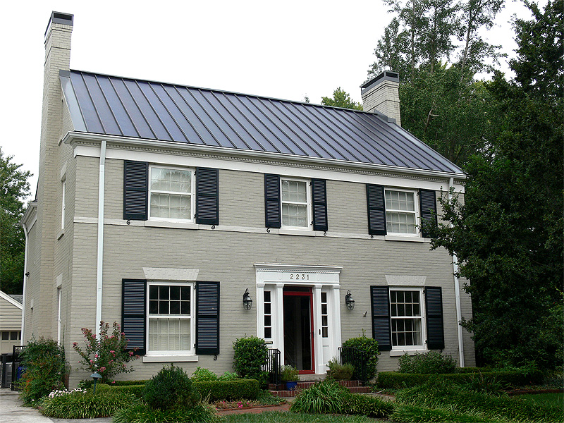
Local Solar Company Lauded For Historic District Solar Roof
Local solar company RegenEn Solar got some good press from Solar Today magazine, the official publication of the American Solar Energy Society, for their...
Bridging Public Art And Architecture (With Robots)
I thought I would share these photos I took last year of a public art installation in New York. Located on a pedestrian median...
Korean Pavilion Shows Real-Time Air Quality Information
This pavilion in Seoul, Korea displays dynamic information about air quality in the city and responds to user input via social media. I first...
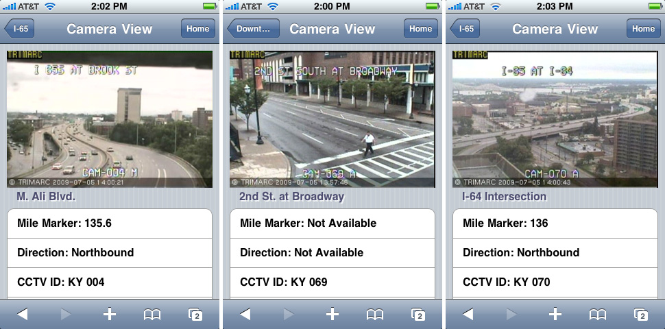
New iPhone App Makes Traffic Data Mobile
A little while back, a tipster wrote in to point out a new iPhone app created just for Louisville transportation. Kyle Melwing has created his...

