Mapping
Mapping non-local property ownership in Lexington
In some of our earlier work last year, we examined the effects of absentee property and housing ownership in Lexington in relation to the...
This map reveals the hidden geography of immigration in Louisville and...
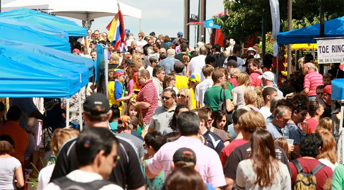
Louisville just wrapped up its 13th annual WorldFest, a celebration of multiculturalism held Downtown on the Belvedere. "Cities that embrace and encourage their international citizens and...
No vacant property is an island: Geographies of vacancy in Louisville...
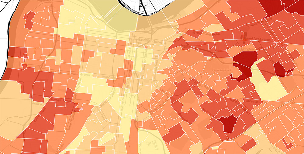
The last several years of local politics in Louisville have seen a dramatic increase in the attention paid to the West End. From the...
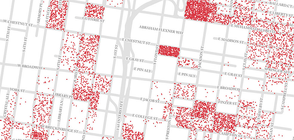
This map shows every single person living Downtown, and there’s room...
(Editor's Note: Pat Smith tracks data about cities in order to tell stories about their urbanism. Here, he looks at the latest census data...
Kentucky shows just how meaningless time zones are to sleeping habits
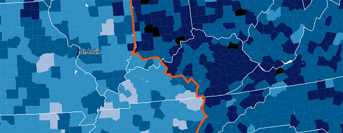
Where I live in Brooklyn, the sun will set today at the depressingly early time of 4:45p.m. In Louisville, the sun sets tonight at...
Interview: What the Civic Data Alliance’s Voter Turnout Map means for...
Louisville's Civic Data Alliance looks into the matrix of raw data streaming all around us and finds stories that help improve local government, citizen...
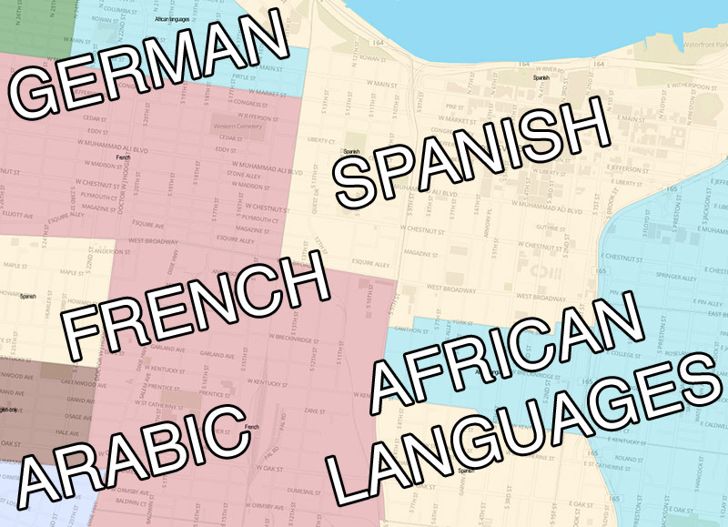
Mapping: What languages are spoken in Louisville besides English
I’ve been enjoying the various “Most Common Language Other Than English” maps for U.S. states or city neighborhoods that folks have posted this summer,...
Louisville Through The National Map Filter
Everyone seems to love rankings regardless of what the actual value of the ranking might be. Besides the ubiquitous top-ten list, the map is...
When Louisville, NE Trumps Louisville, KY
So I would suppose most people know that there's a wide array of towns bearing the name Louisville out there. Wikipedia says there's a...


